Oceania

National World War II Museum
The museum also offers a bank of student resources, primarily research tools such as the yearbook database and Research Starters, a bank of statistics and introductory ma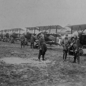
National WWI Museum and Memorial
Due to the immense amount of resources, we advise educators to enter the databases with an idea of what they want rather than attempting to browse.
World Heritage Site Map
The most well-known part of their work is the naming and administration of World Heritage Sites.
Minecraft Education
Because Minecraft offers such a wide variety of sources and topics, it can be incredibly helpful to teachers. However, because game-based play poses particular risks, such as the possibility that students will not learn and only focus on playing.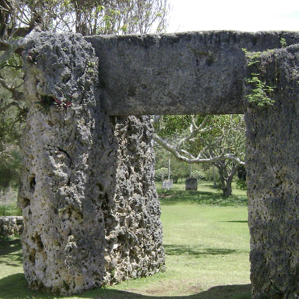
Ha’amonga ‘a Maui in Tonga
Ha’amonga ‘a Maui is a stone trilithon located on the island of Tongatapu in Tonga. A stone trilithon is a stone monument with two large vertical stones acting as a post for the third stone set horizontally across the top.
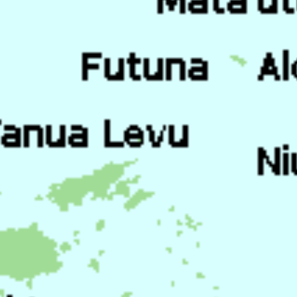
Tu'i Tonga Empire Map
The Tu’i Tonga Empire was an Oceanic maritime chiefdom centered on the island of Tongatapu, the main island of Tonga, and flourished between 1200-1500 CE.
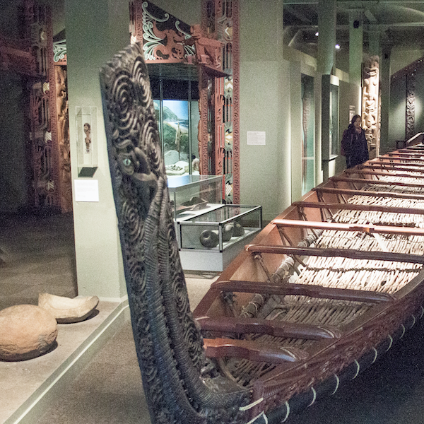
Te Paranihi, or Maori War Canoe
Te Paranihi is a 17-meter (55 feet) war canoe, or waka taua, from the Maori culture indigenous to New Zealand.
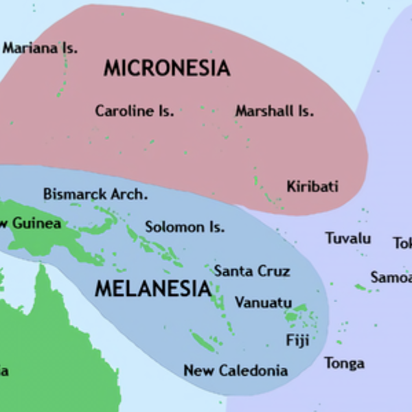
Pacific Culture Areas Map
This map illustrates the three dominant cultures in Oceania, Micronesia, Melanesia, and Polynesia, and which islands occupy each region. This map successfully highlights the number of island nations/cultures and the overall size of Oceania.
Polynesian Oral Traditions
This collection compiled by Rawiri Taonui, a professor of Indigenous Studies, includes creation myths and stories about gods, the origin of humanity, and cultural heroes for several Polynesian cultures, such as Hawaii, Samoa, Tonga, Tahiti, and numerous others.
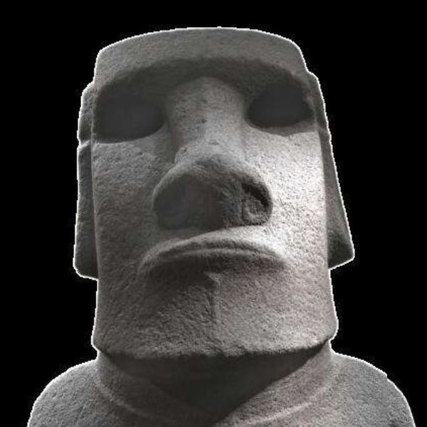
Moai on Easter Island
The Moai are large statues on Easter Island in Oceania, known for their distinctive head and facial features. The moai were created by the Rapa Nui people likely between 1250 and 1600 CE.